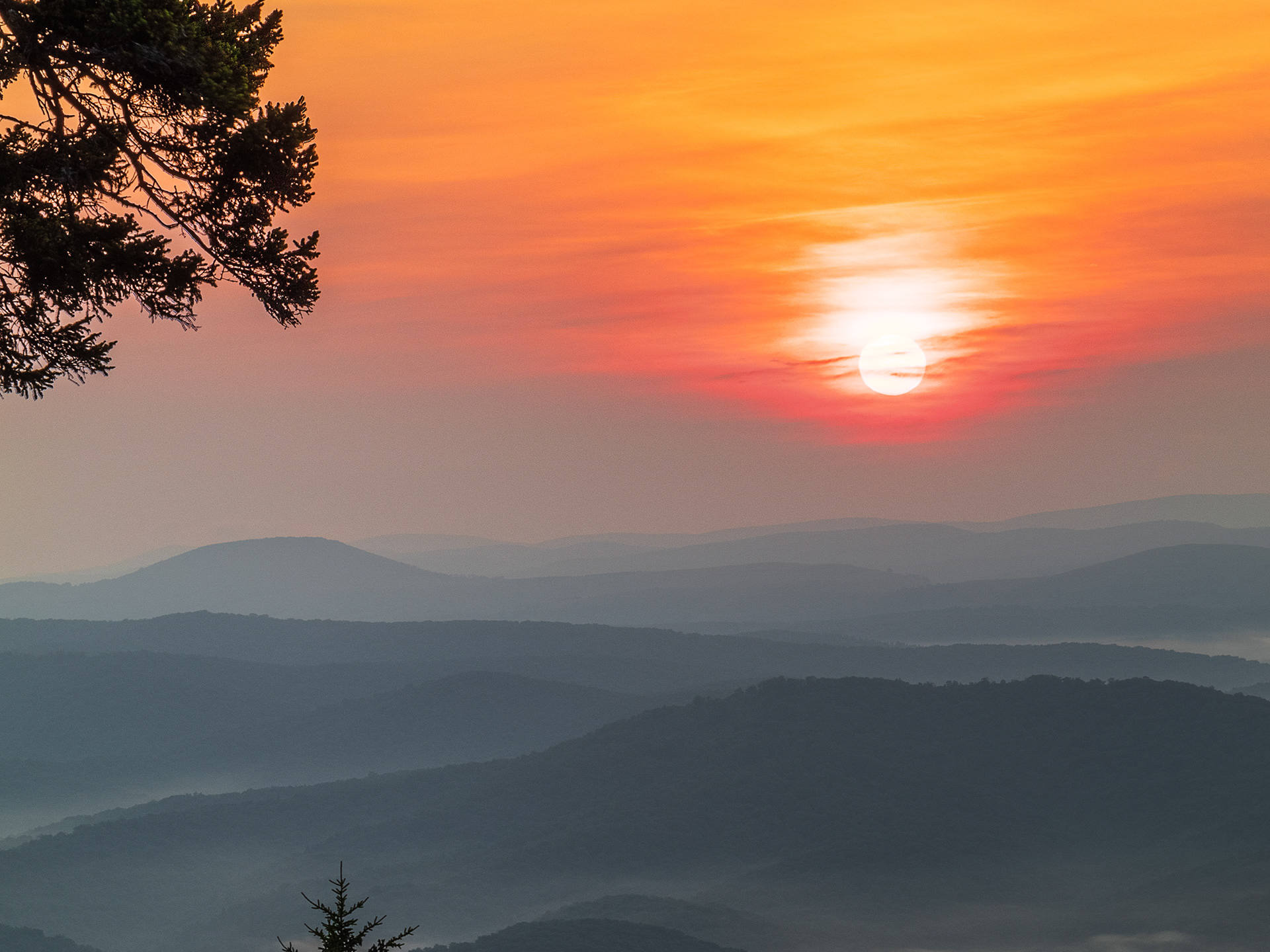
Most Popular
All photos here are at least 3 years old and as such have given me the most amount of feedback, from how well they're received on social media to how well they've sold. These few are the ones that seem to stick out.
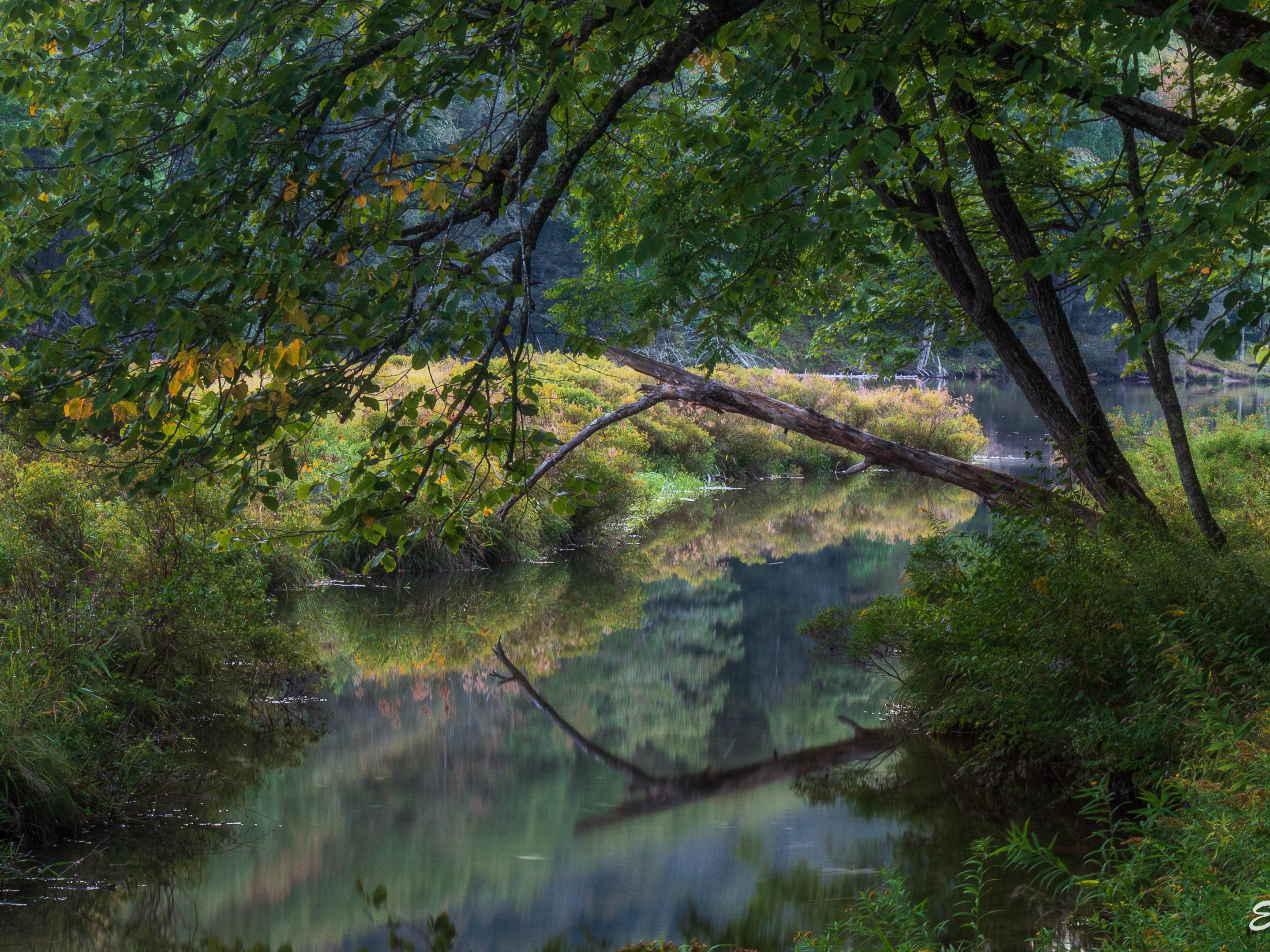
Old Favorites
These are all over 3 years old and are just a small collection of photos not already included with the "Most Popular," that I personally like.
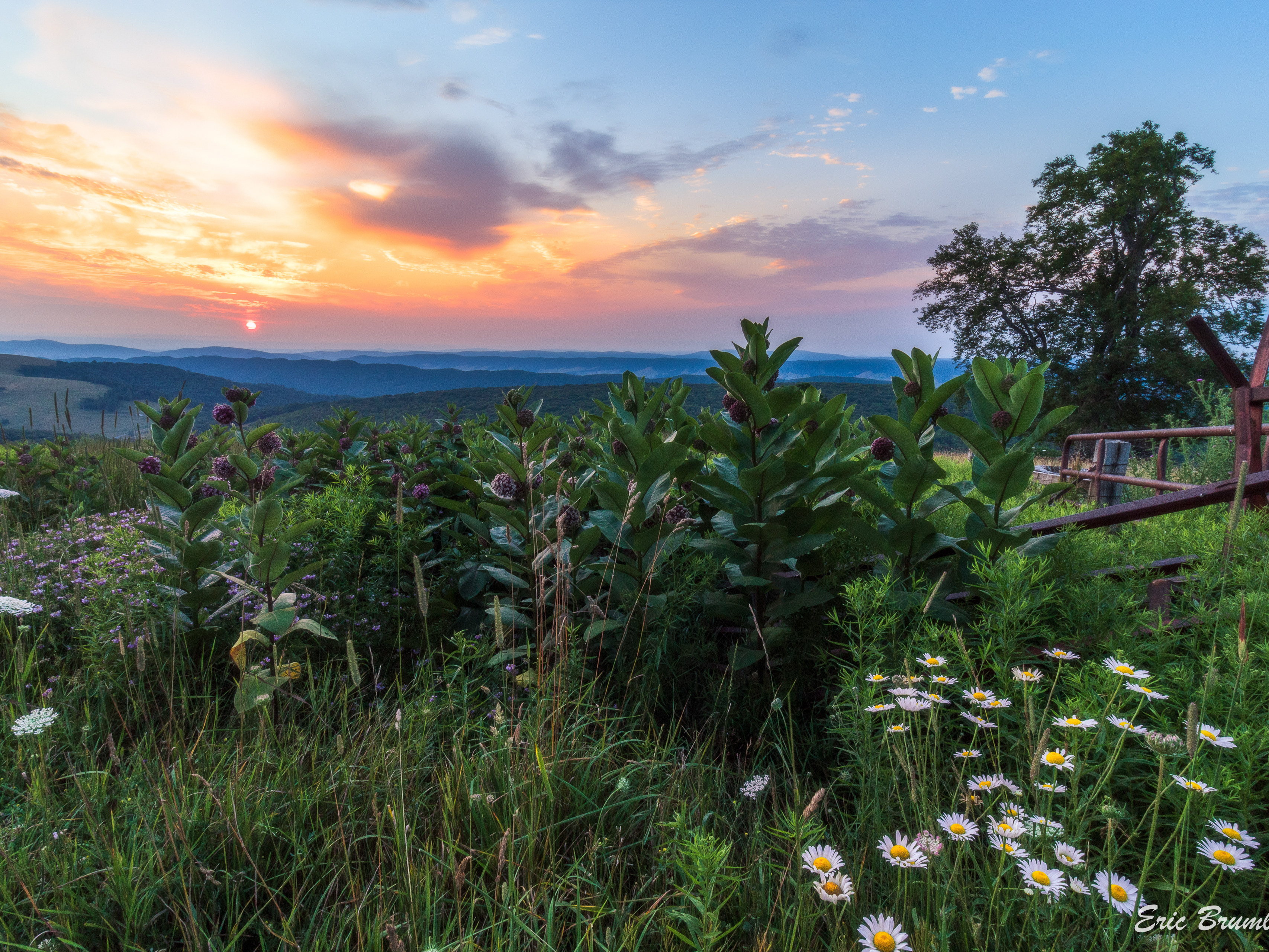
Best of Summer
Sunshine, vibrant skies, rhododendron blooms, and other various wildflower blooms.
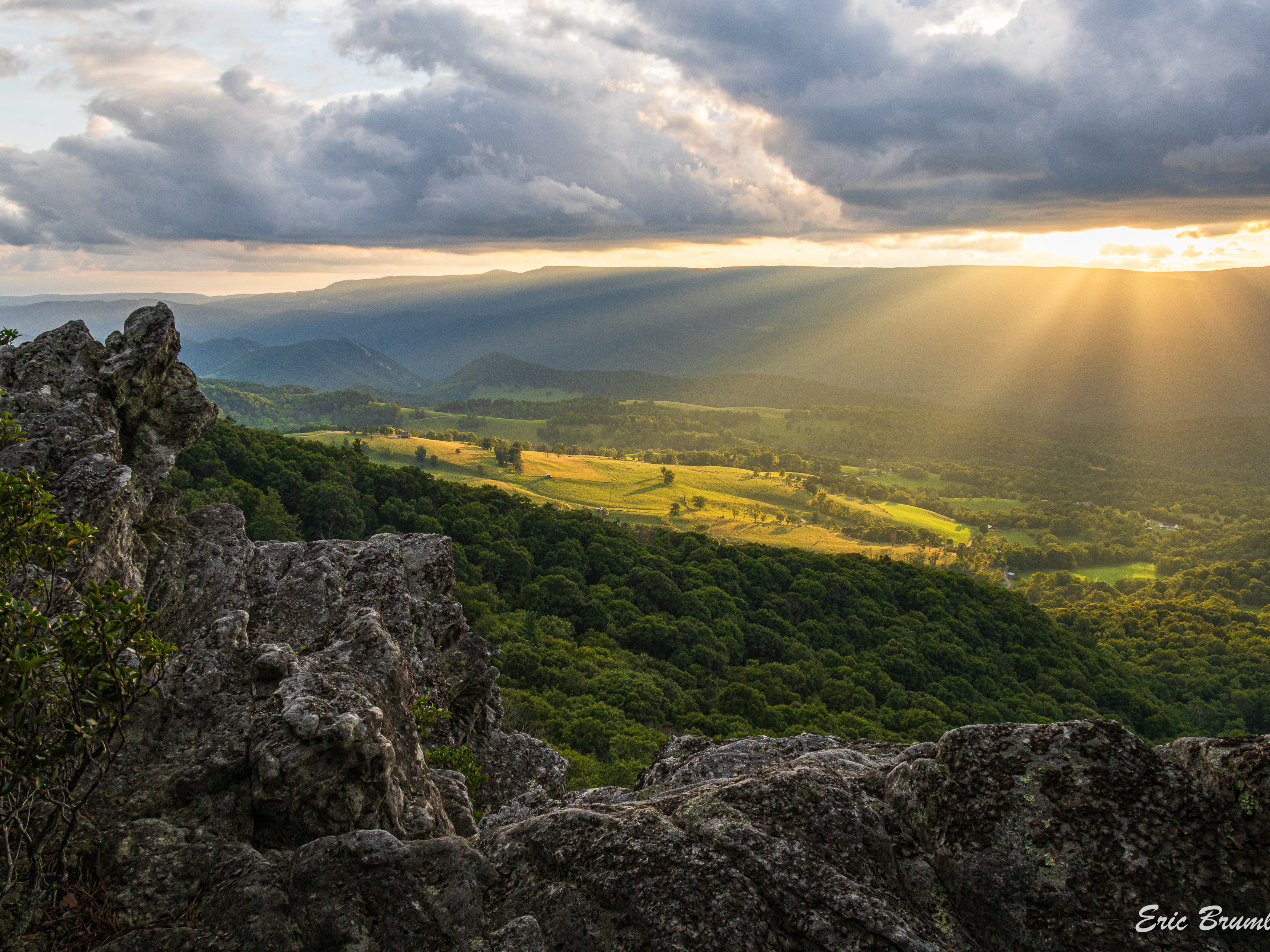
North Fork Mountain & Germany Valley
Scenes from Germany Valley and the Southern end of North Fork Mountain Trail
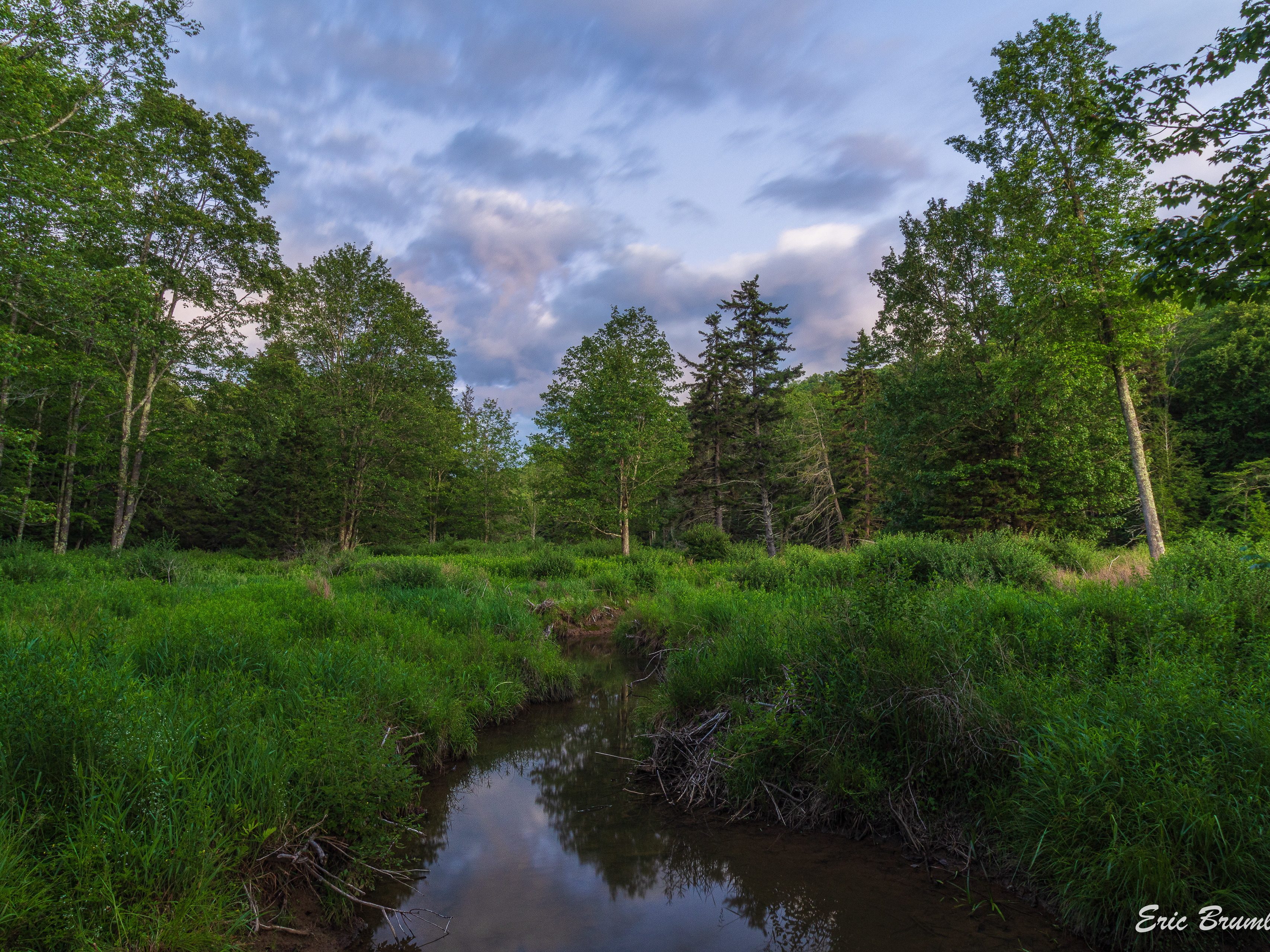
East Fork, Top of Allegheny & VA
East Fork of the Greenbrier River at/near places such as The Pig's Ear and Abes Run trailhead. Also Burner and Frank Mountains, Buffalo Lake, the Top of Allegheny, into the Bluegrass Valley in Highland County Virginia

Seneca Rocks & Smoke Hole
Seneca Rocks and other notable rock outcroppings in the area, plus Smoke Hole Canyon
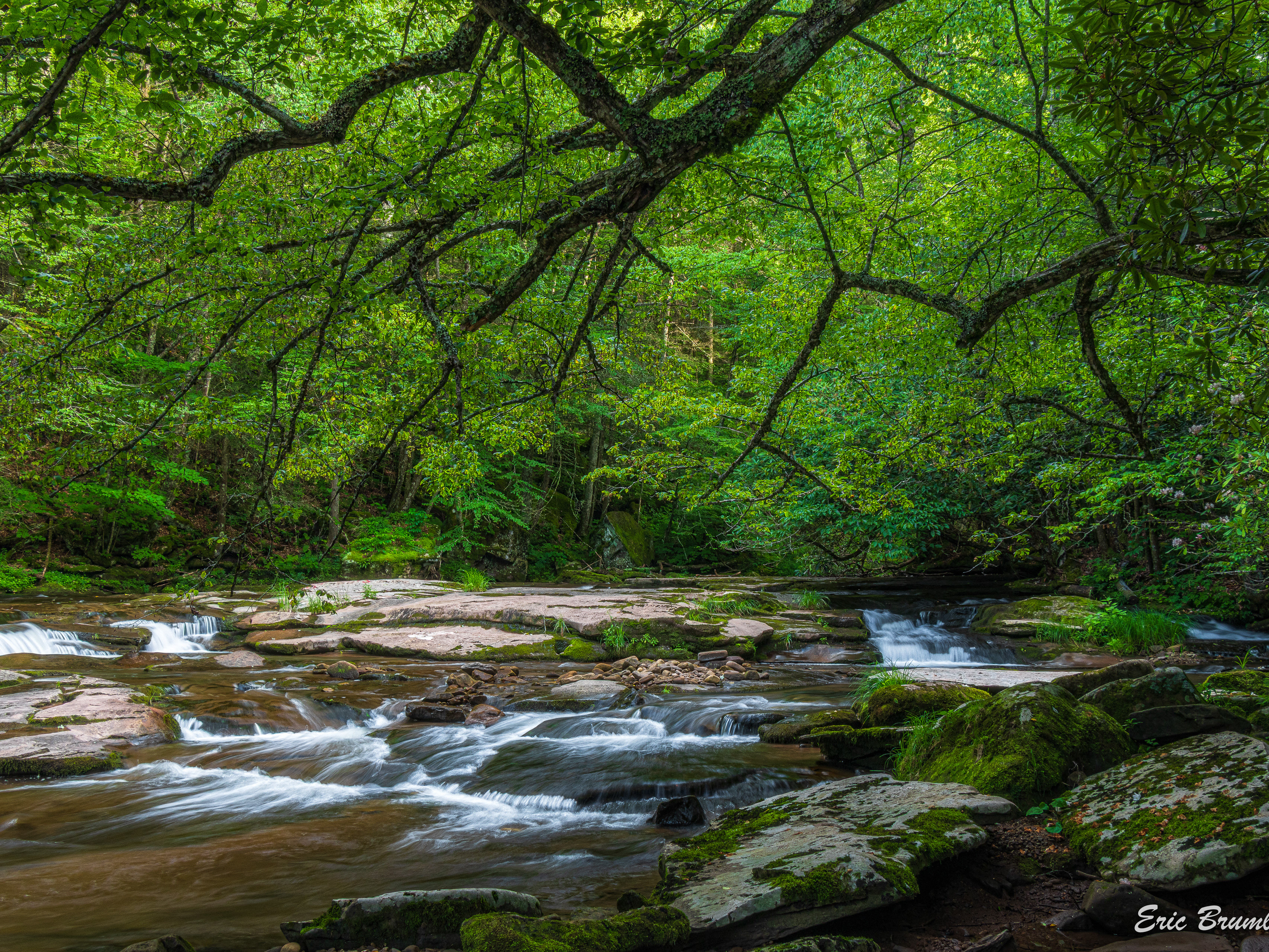
Highland Scenic Highway, Williams River & Yew Mountains
Places along the Highland Scenic Highway, at overlooks and along trails in the area, and the Williams River along with some of its tributaries, Cranberry Glades Botanical Area, Hills Creek, and more from that area
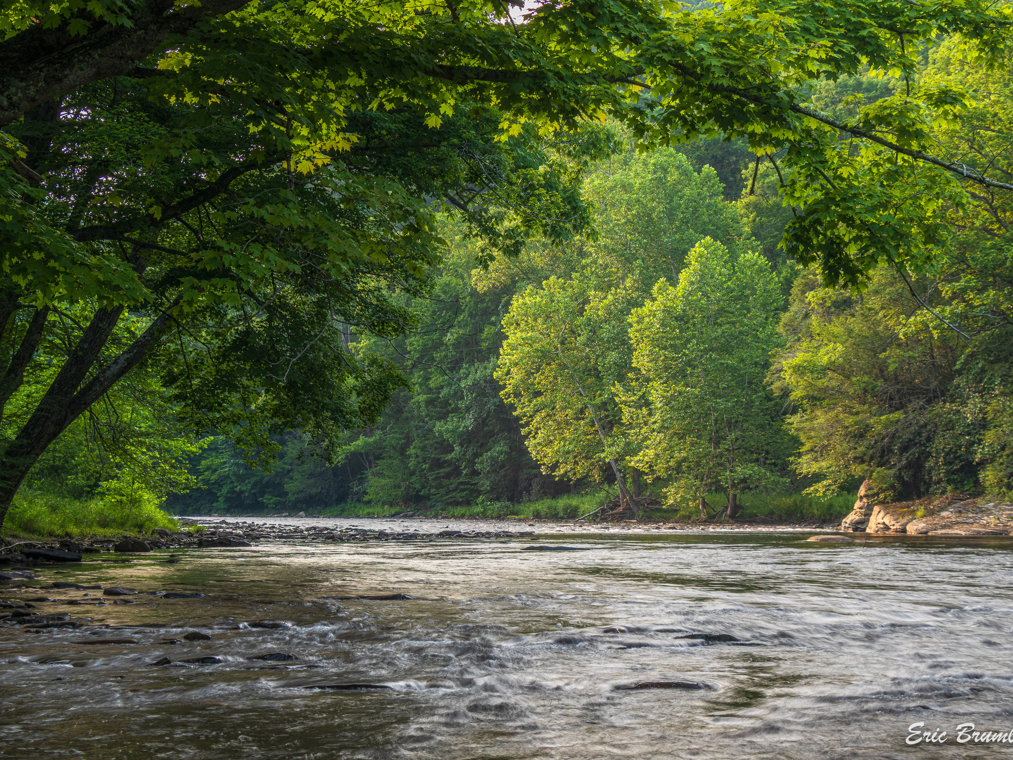
Lower Shavers Fork Area
Photos all along Lower Shavers Fork from outside Elkins, including some from its many named and unnamed tributaries along Shavers Fork Road, such as Little Black Fork, Johns Run, Rock Camp Run and more
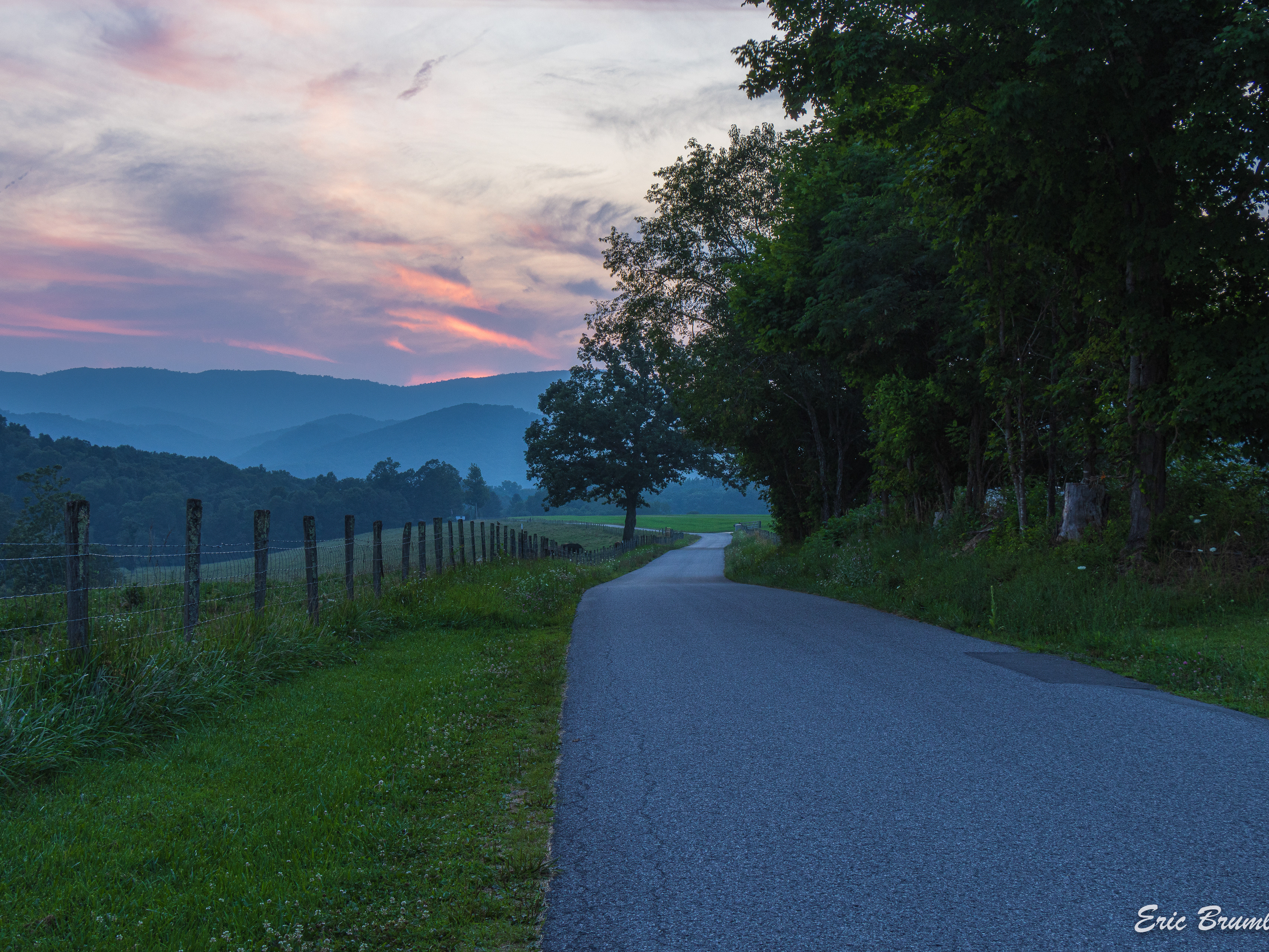
Tygart River Valley & Mountaineer Country
Kumbrabow State Forest, Pleasant Creek WMA, Valley Falls, and other places along the Tygart River, plus Wolf Creek, Cathedral State Park, and Cheat River Narrows in Preston County
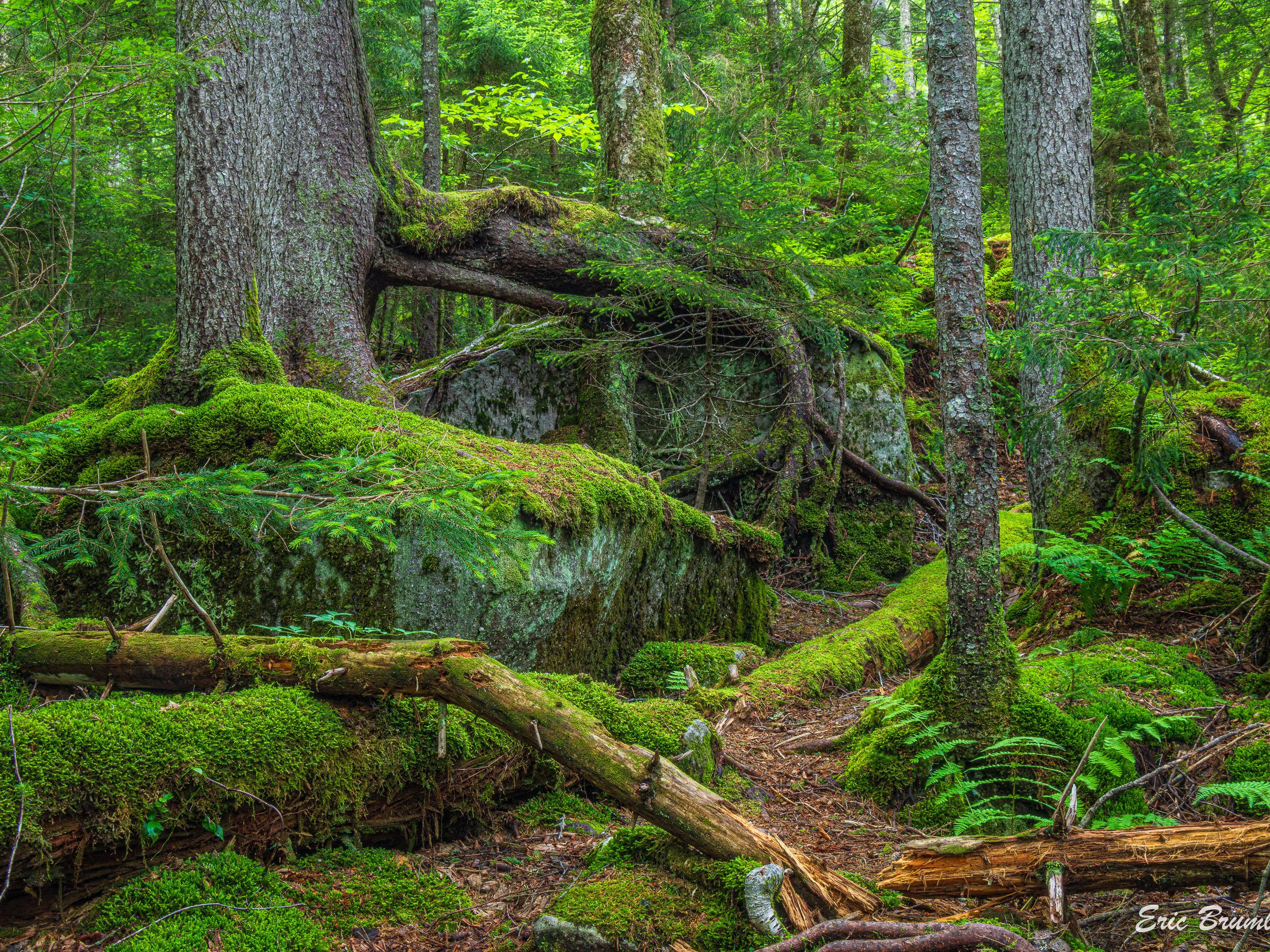
Gaudineer & West Fork
Gaudineer Scenic Area, Gaudineer Knob, West Fork of the Greenbrier River, Little River, and other places along the upper section of Shavers Fork
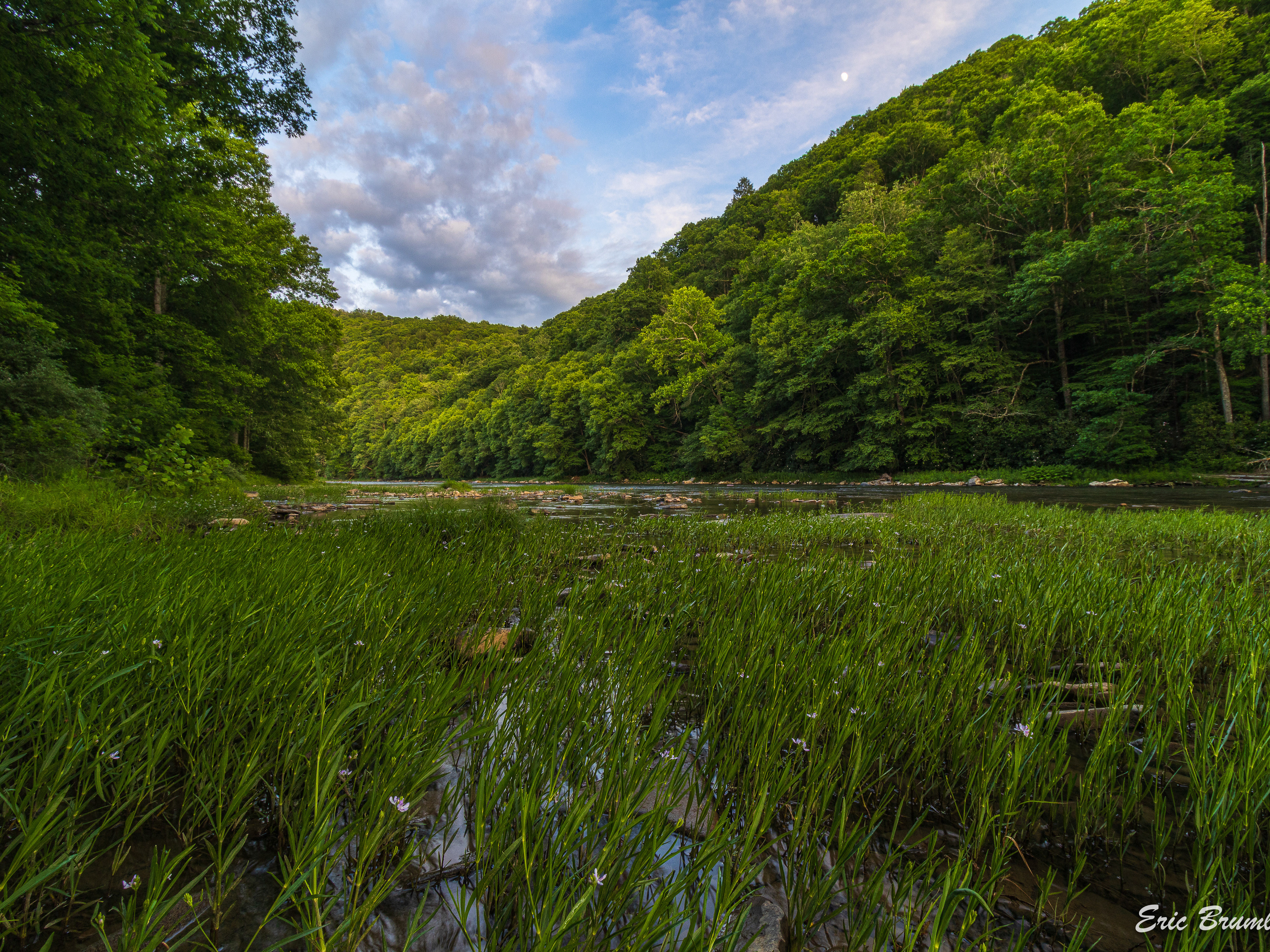
Greenbrier River Valley North
Areas around communities such as Cass, Clover Lick, Green Bank, Bartow, Edray and more, plus Seneca State Forest, and of course, the Greenbrier River
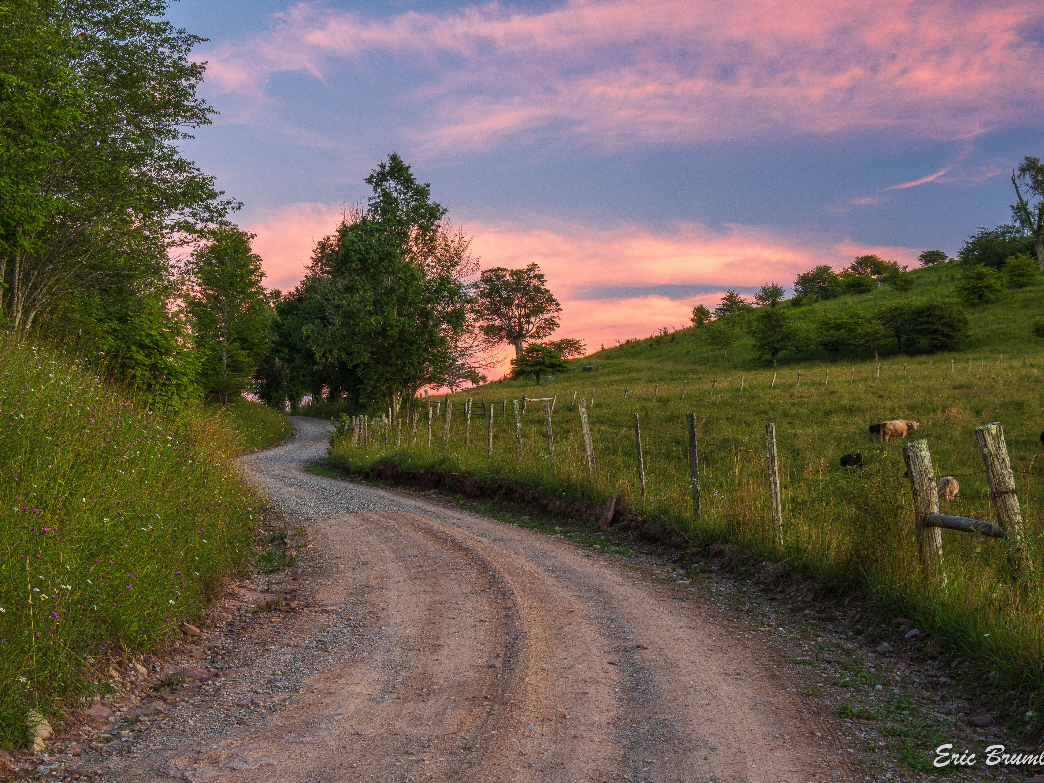
Middle Mountain Road To Sinks of Gandy
Photos taken along the drive from Middle Mountain Road off of US-33, through Laurel Fork North Wilderness Area to the farmland around the Sinks of Gandy
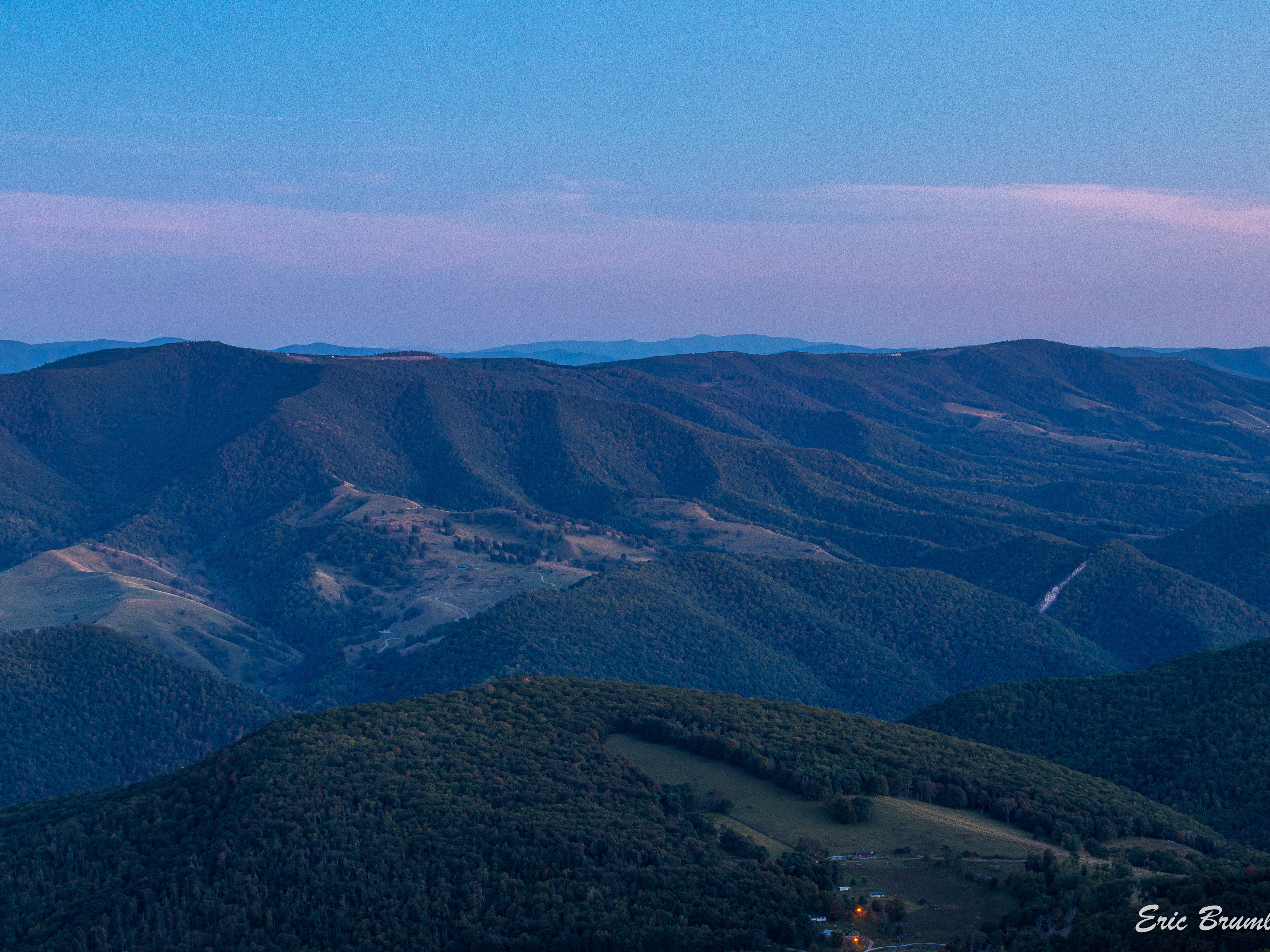
Spruce Knob & Gandy Creek
WV's highest point, Spruce Knob with photos also from Spruce Knob Lake and nearby Gandy Creek, including some of its tributaries such as Upper Two Spring Run and Devers Run
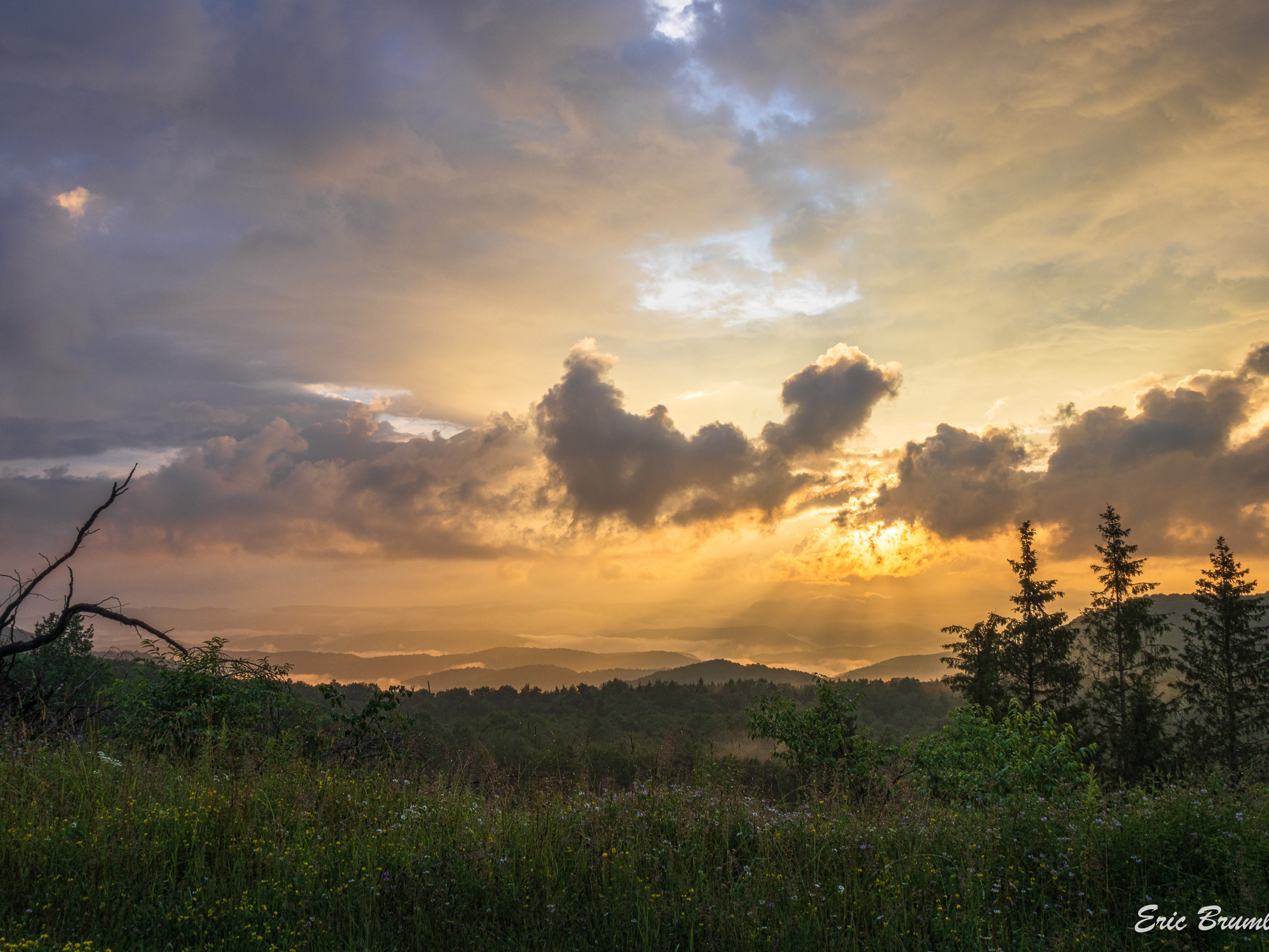
Cheat & Back Allegheny Mountains
Photos from all over Cheat Mountain, mostly from the Mower Tract, but also from the other side of the highway along Forest Road 92, the area around Cheat Bridge, and extending into Pocahontas County
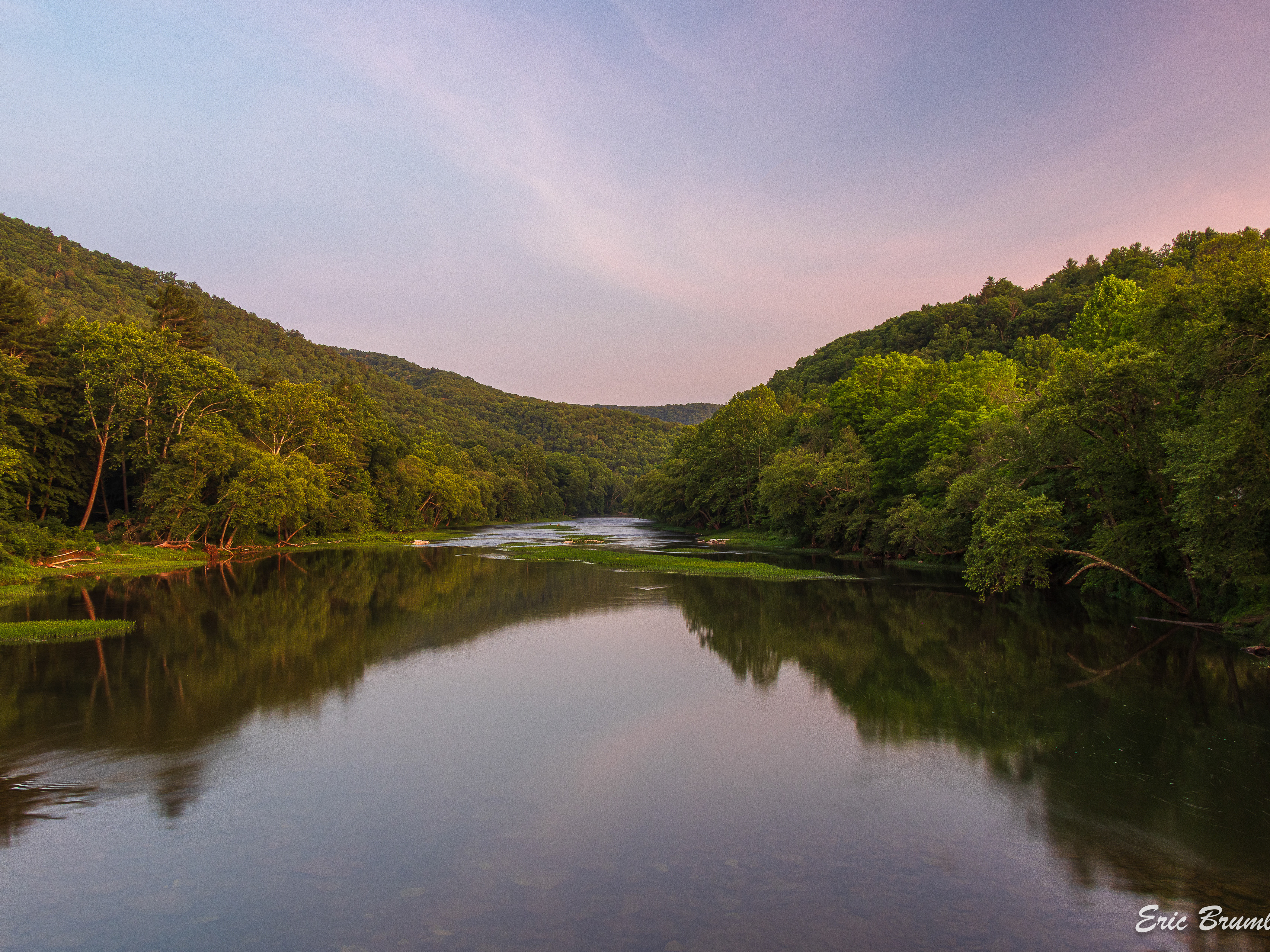
Greenbrier River Valley South
Places a little further down the river, including Watoga and Beartown State Parks, Knapp Creek, and of course, photos of the Greenbrier River itself
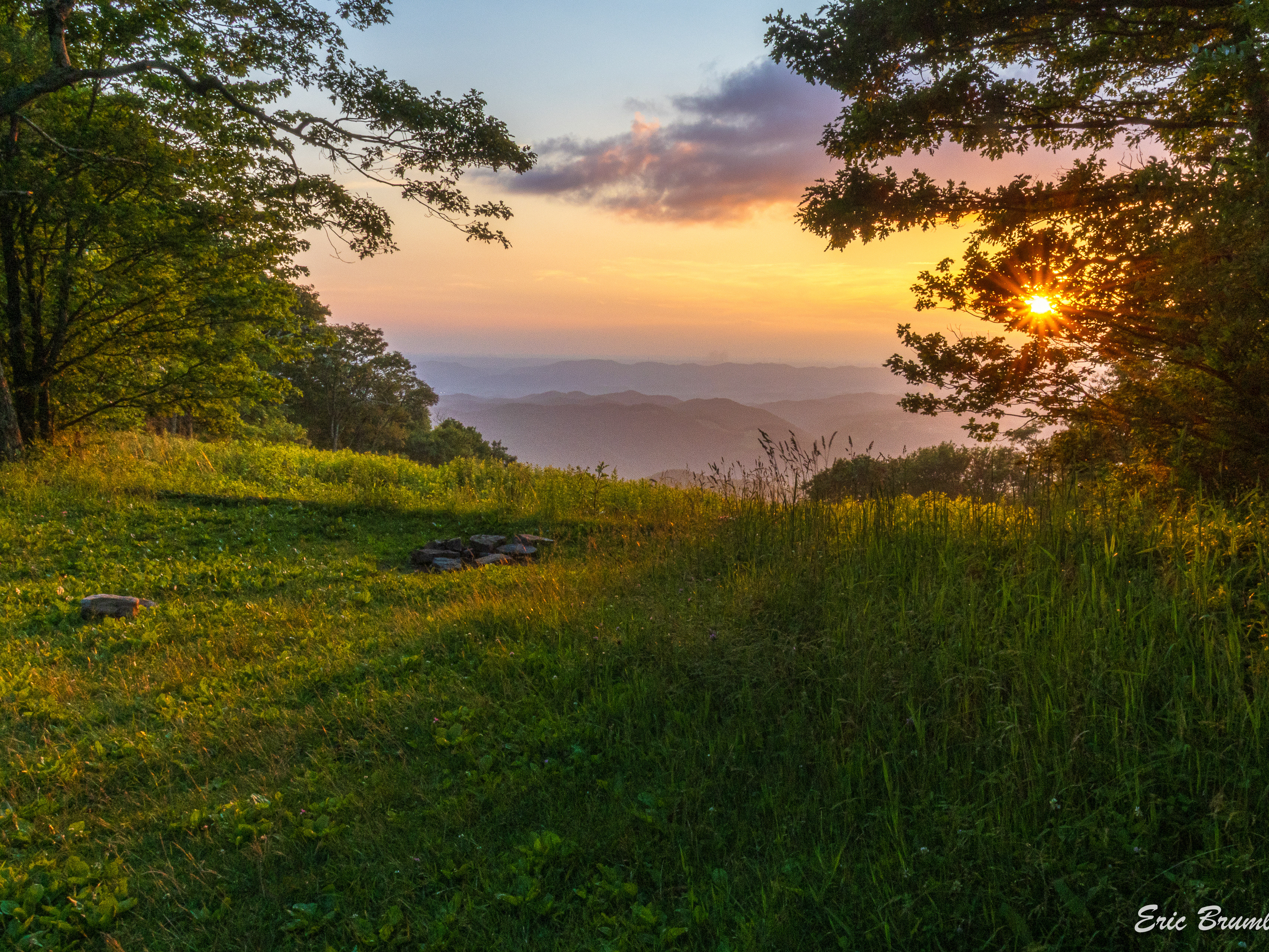
Bickle Knob & Bear Heaven
All along Stuart Memorial Drive (FR 91) from Bear Heaven to Bickle Knob
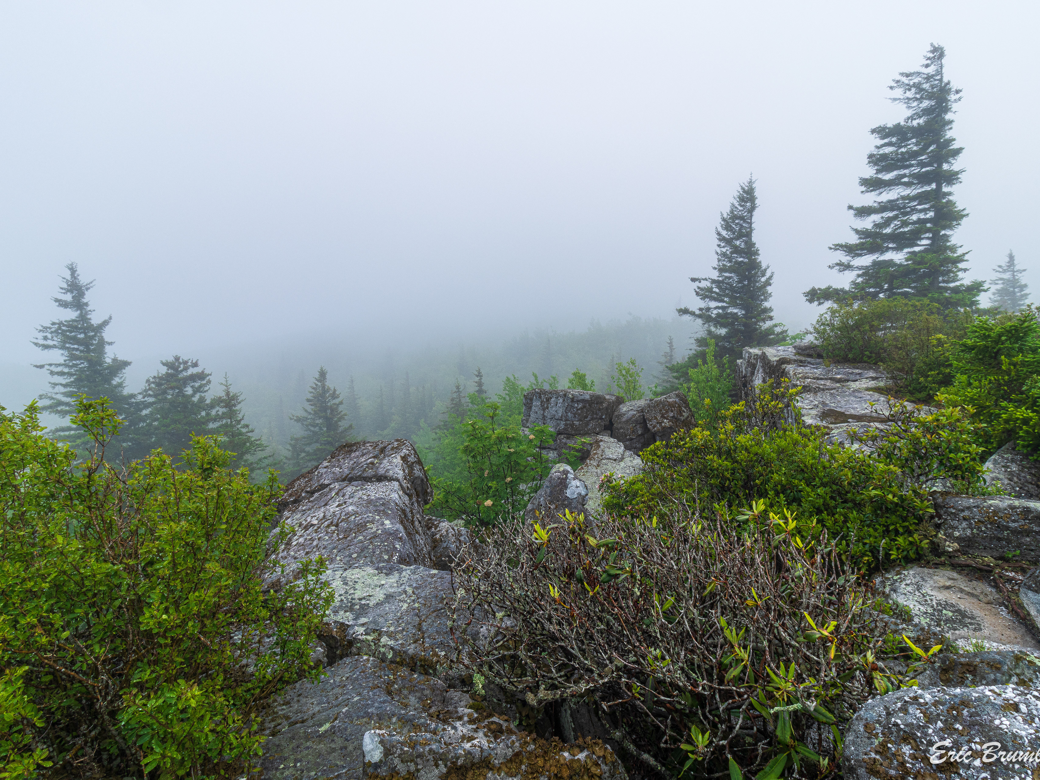
Dolly Sods
Photos from within probably the most popular wilderness area in the state, including many from Bear Rocks Preserve.
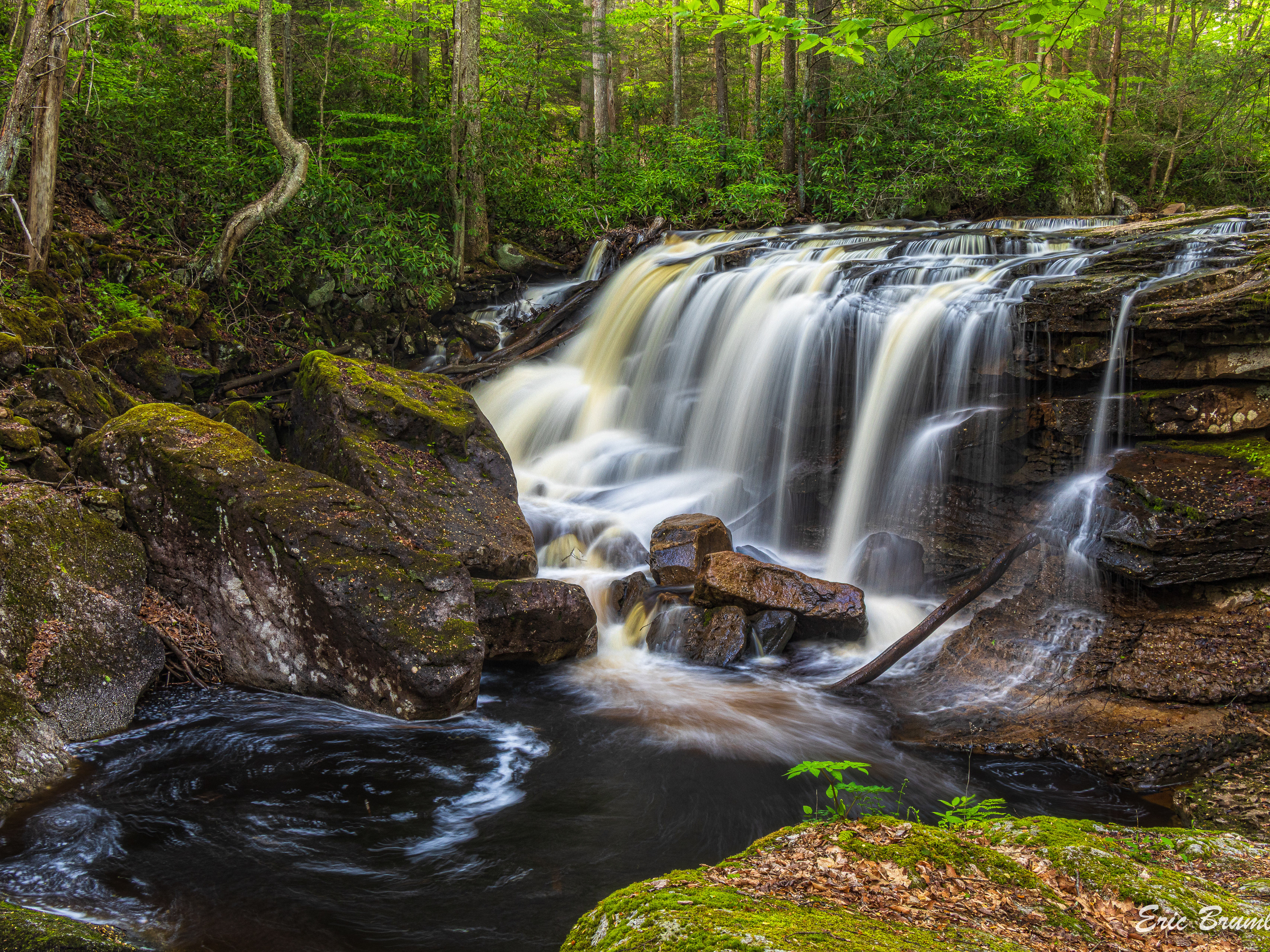
Mozark Mountain & Dry Fork
Photos out Canaan Loop Road, Table Rock Overlook, Red Run, and other Dry Fork River tributaries like Elklick Run and Mill Run, plus photos from the communities of Gladwin and Sully
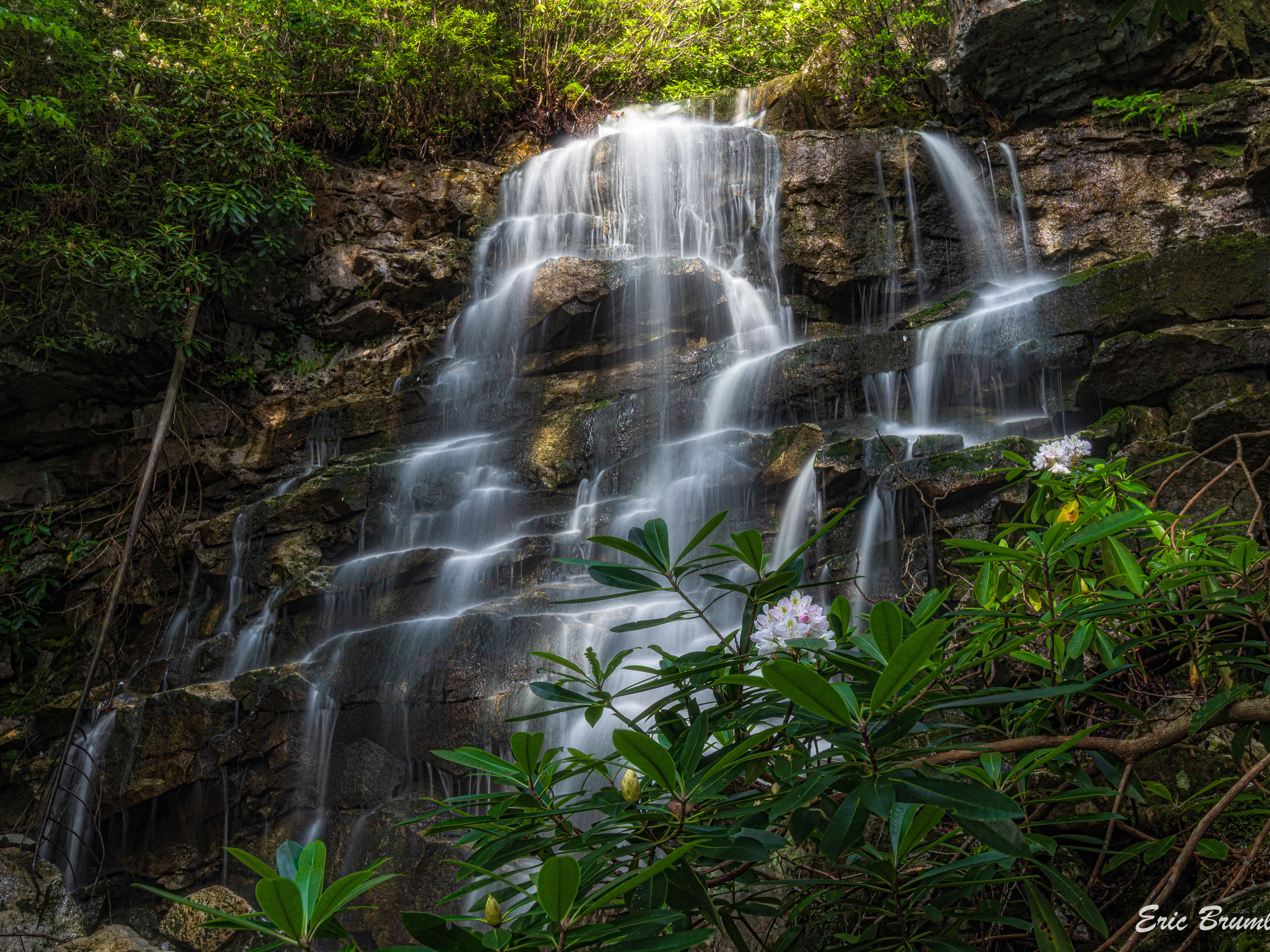
Blackwater Falls State Park
Favorites from Blackwater Falls State Park, such as Lindy Point, Elakala Falls, Pendleton Point, and more. Also, photos from the nearby Backbone Mountain, including Big Run.
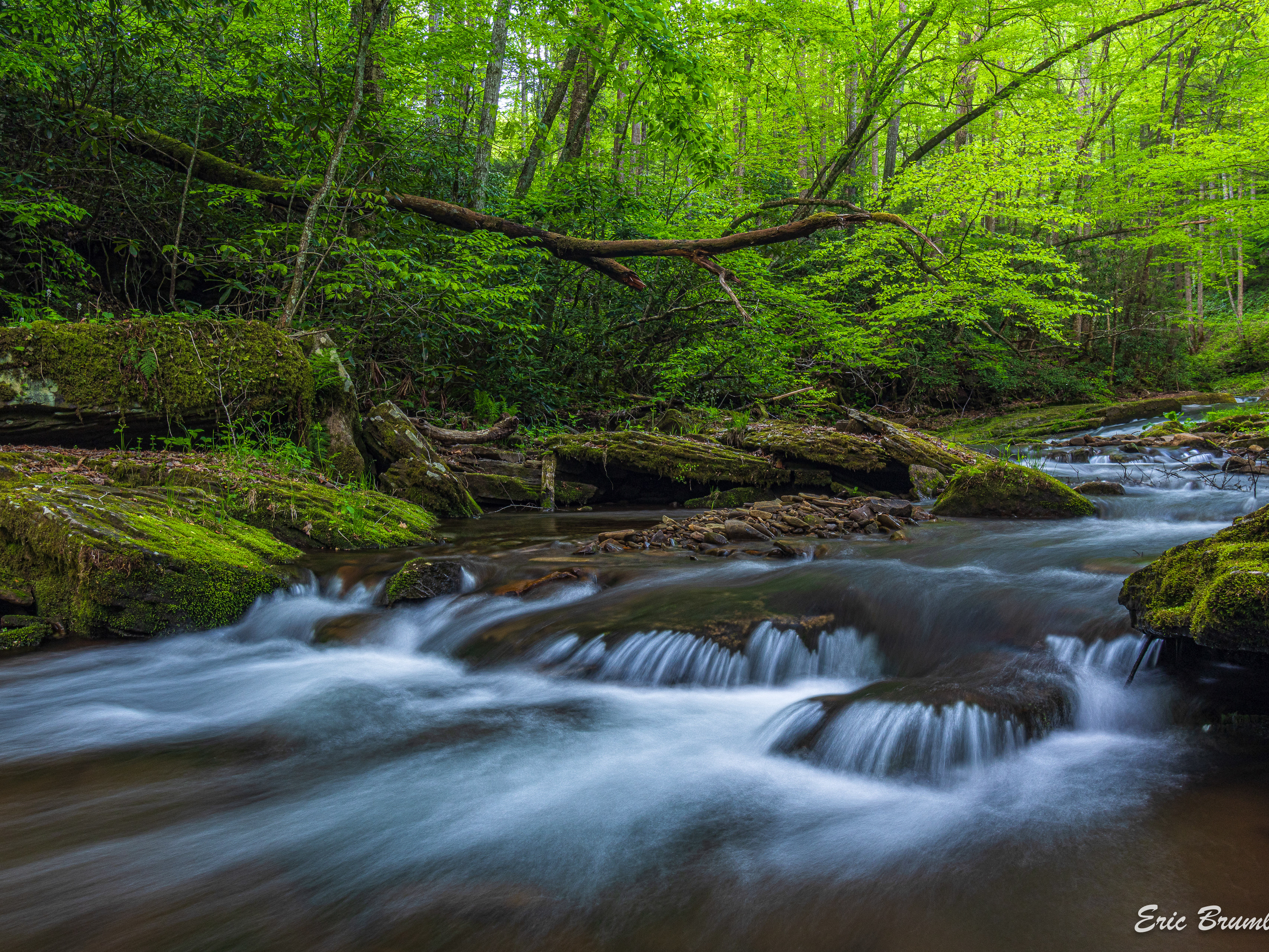
Otter Creek & Fernow
Otter Creek Wilderness, mostly from the Dry Fork end, and photos from Fernow Experimental Forest, which are mostly of Elklick Run
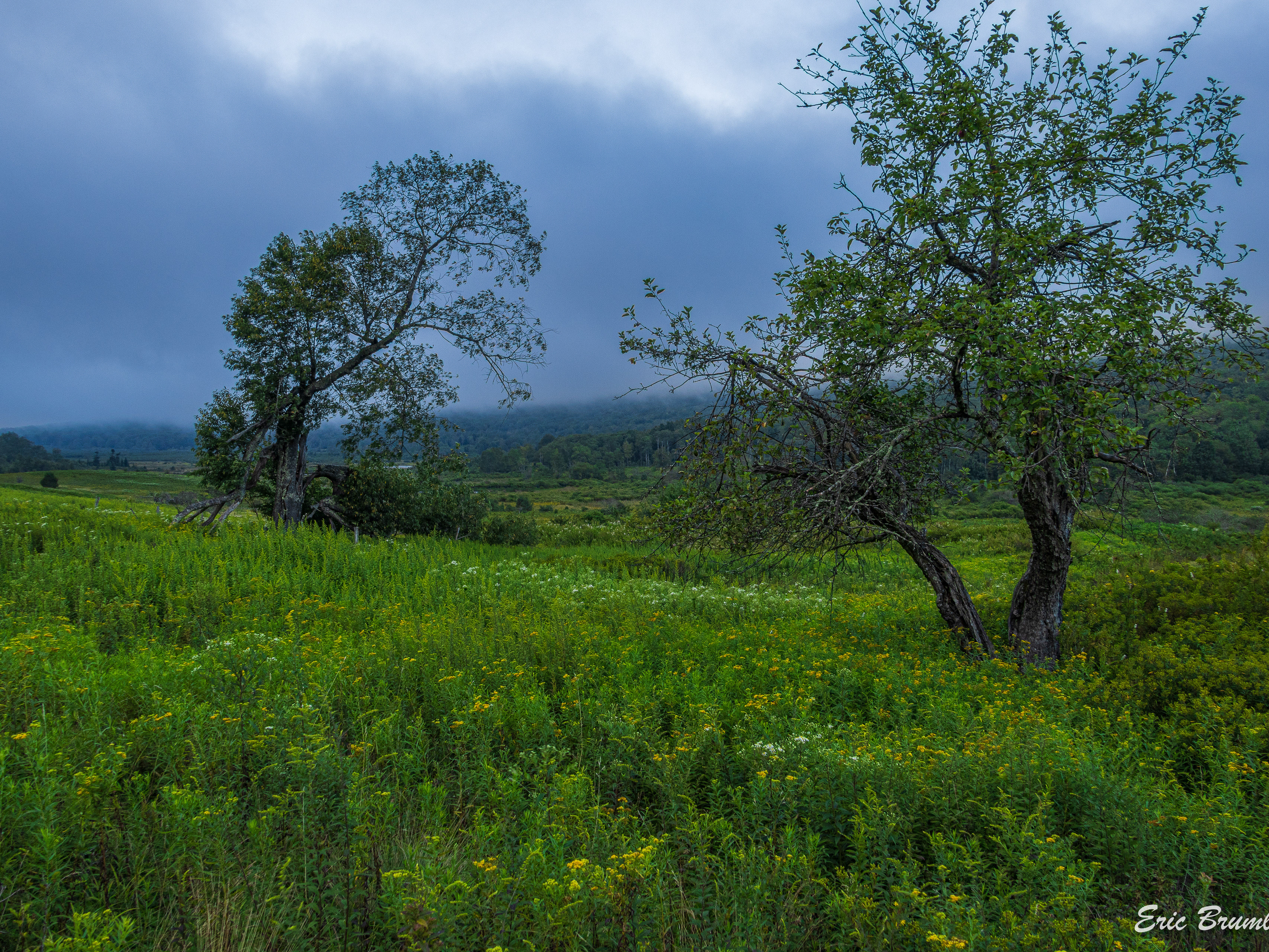
Canaan Valley
Photos from places in the Resort State Park like Blackwater River Trail, Deer Run/Abe Run Trails, and from different areas of the National Wildlife Refuge, Beall Tract, Freeland Boardwalk, trails out A-Frame Road
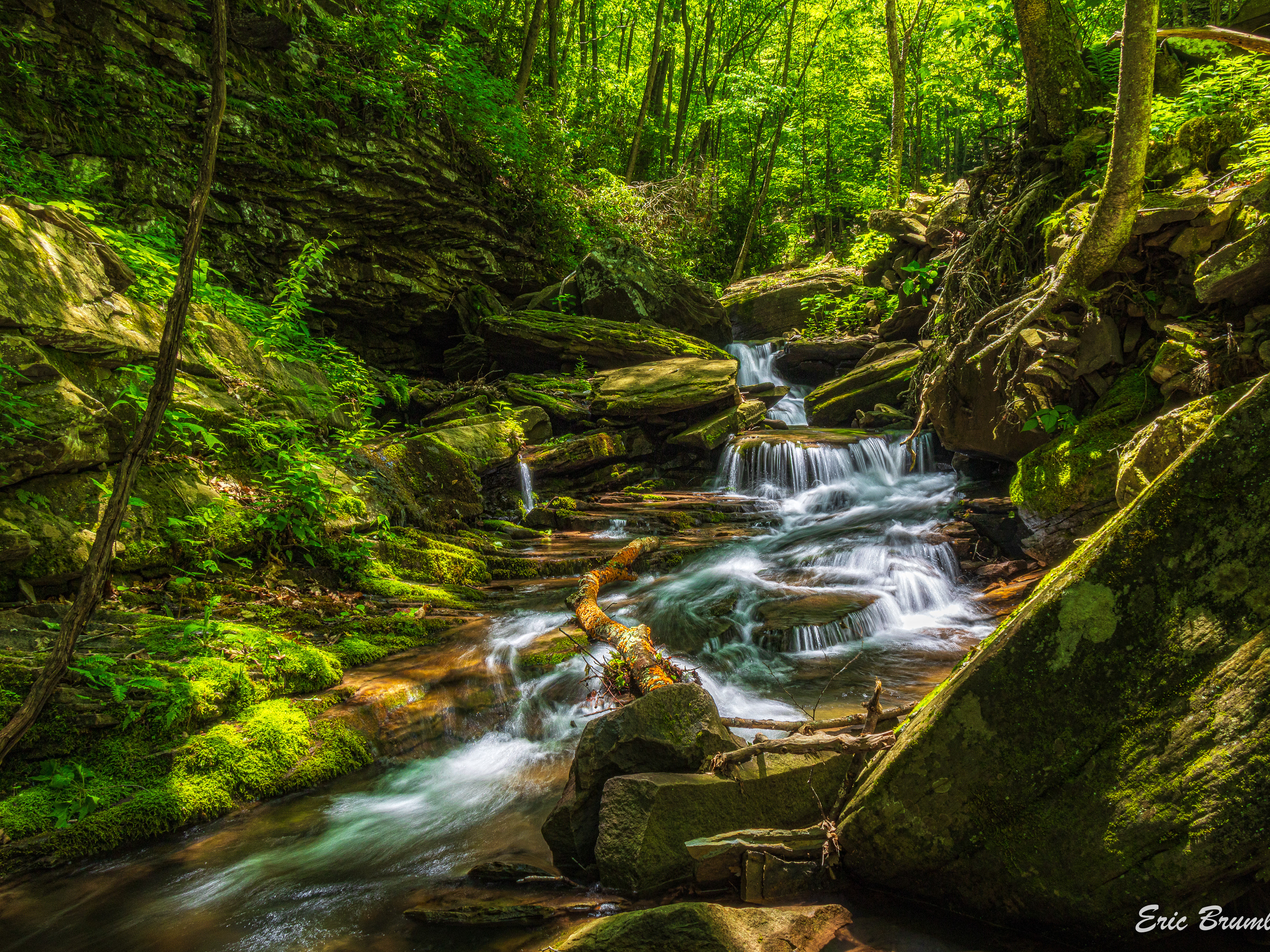
White's Run Road & Seneca Creek
All along White's Run Road from the farmland outside Job and Whitmer to Seneca Creek, including White's Run and other tributaries
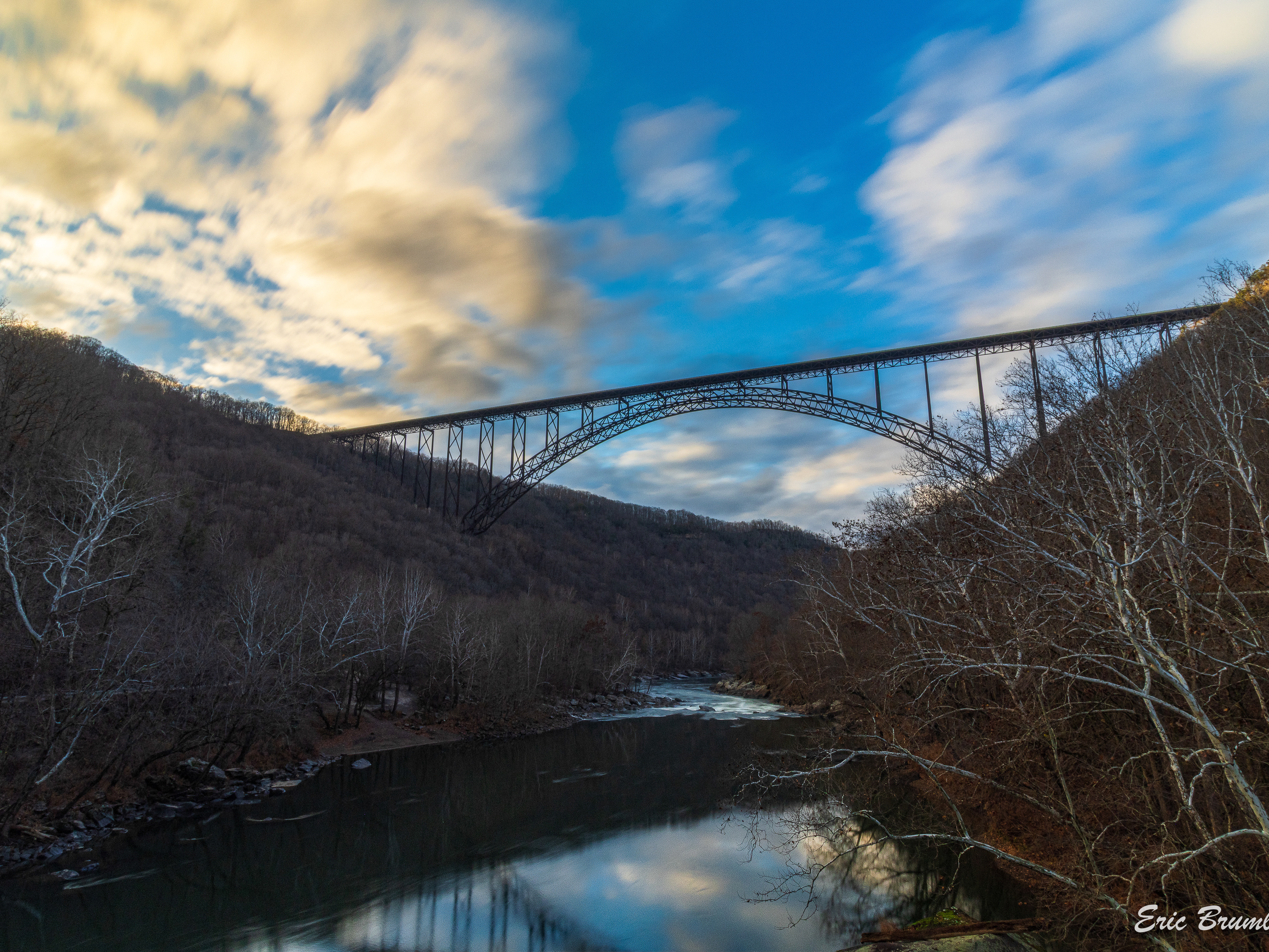
New River Gorge & Central WV
Places in the New River Gorge National Park, Dunloup Creek and of course the bridge. Also included are Holly River State Park, and a few popular trout streams: Cranberry, Elk, and North Fork Cherry Rivers.
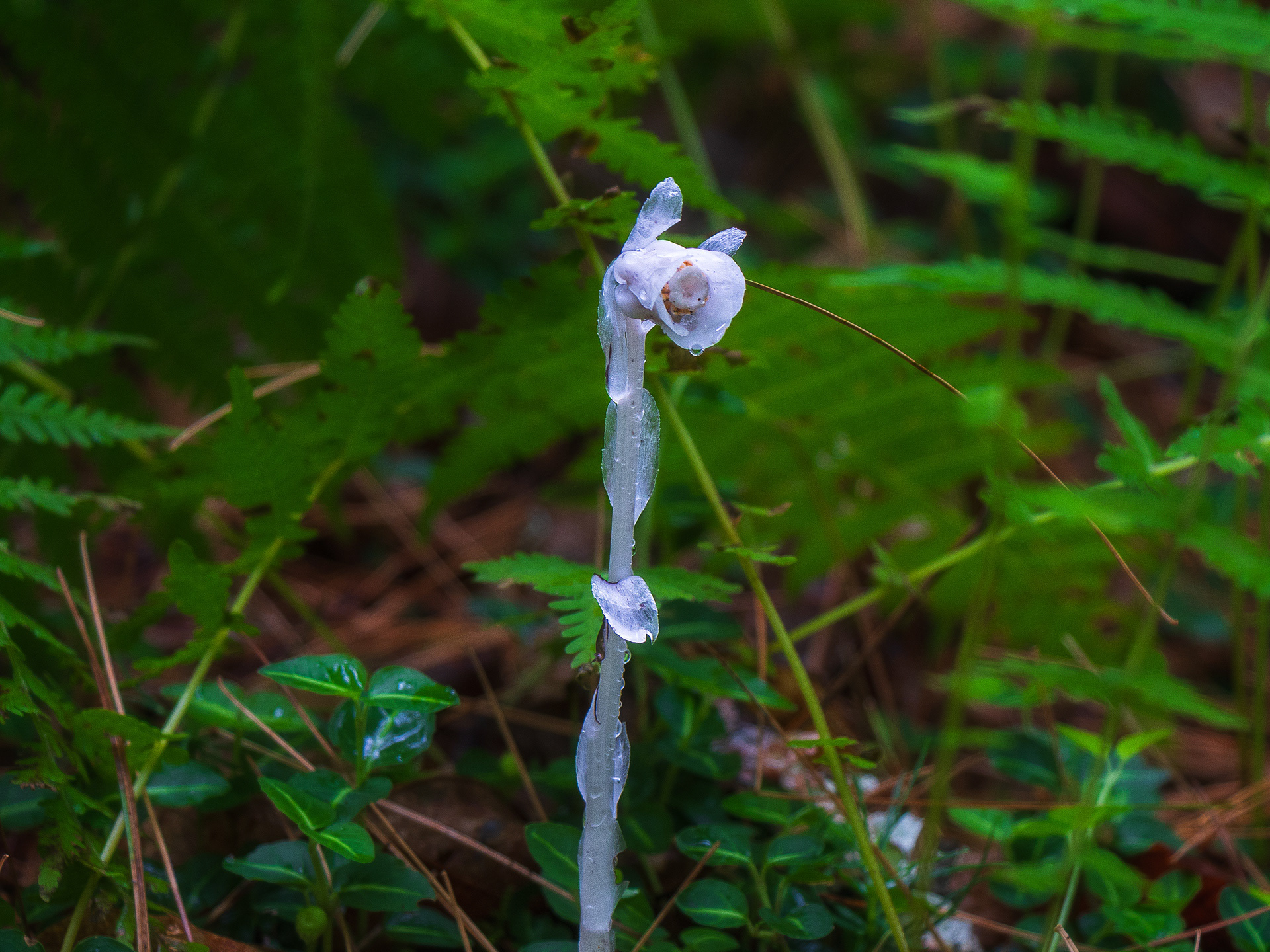
Critters, Macros & Abstracts